UN Creates Historic Route Forward For Governments in Location-based Data

At the United Nations headquarters in New York this week a Committee of Experts is charting a route forward for global collection and use of geospatial data.
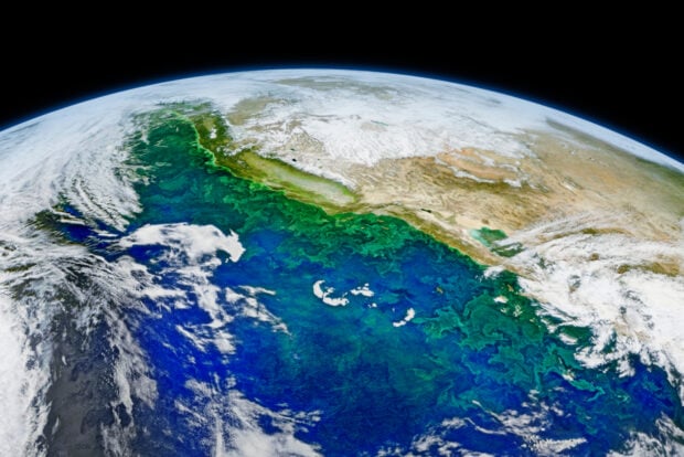
That is, data that uses time and place. This covers everything from disaster charities trying to chart the extent of an earthquake, to governments looking at community movements and water catchment areas to work out the location of a new dam.
The United Nations Committee of Experts on Global Geospatial Information Management (UN-GGIM) has been working for three years on accuracy and standardisation in this demanding science. Geospatial data is playing an increasingly fundamental role in government decision making on areas such as economic progress, sustainable development and disaster recovery.
At the Fourth Session in New York, UN Under-Secretary General for Economic and Social Affairs, Mr Wu Hongo, has opened the event while commenting: ‘The many environmental, developmental and humanitarian challenges we are facing today make it increasingly apparent that location matters.’
This event is providing the foundations for a more sustainable and accurate global geodetic reference frame – this refers to the science of measuring the planet down to millimetres when the planet itself is constantly changing its axis, gravity and even shape.
The Session should result in a proposal for a set of global standards. Every country will be able to play its part since there will be a phased programme for countries at different stages of the journey.
If you wanted to watch proceedings this week live, then they are available on-demand at the UN Web TV website at: http://webtv.un.org.
About Graham Scott
Graham is an experienced editor and publisher and an award-winning writer. He has travelled extensively and is interested in world cultures.

Related Posts